
Joplin Neighbors Around One Parcel
The public record can describe the block around a Joplin address without creating a complete household list. On the Jasper County side, begin with the parcel geometry in Beacon and use Tax View to read the owner, situs address, tax mailing address, APN, class, and legal description. A mailing address is where a tax notice goes. It can be an agent, family member, business, or post-office box, so it is not proof that the owner lives at the parcel. City permits and archives add address history rather than a roster of people.
| Block source | What it shows about a Joplin block | Access |
|---|---|---|
| Jasper Beacon map | Parcel outlines, roads, parcel IDs, legal context, and adjoining lots | Public map; detailed assessment information requires membership |
| Jasper Tax View | Owner, situs and mailing address, APN, city, ZIP, and property details | Public one-field search |
| Recorder instruments | Grantor, grantee, instrument, date, book or page, and legal description | Guest index; images by subscription, request, or counter |
| Election records | Limited voter address and precinct information where lawfully released | Exact lookup or request, with protected-address limits |
| City activity records | Permit, code, archive, or city-created address context | Portal or custodian request; not a resident roster |
The Jasper County GIS page is the county's public starting point for Beacon access and its map-versus-detailed-assessment distinction.
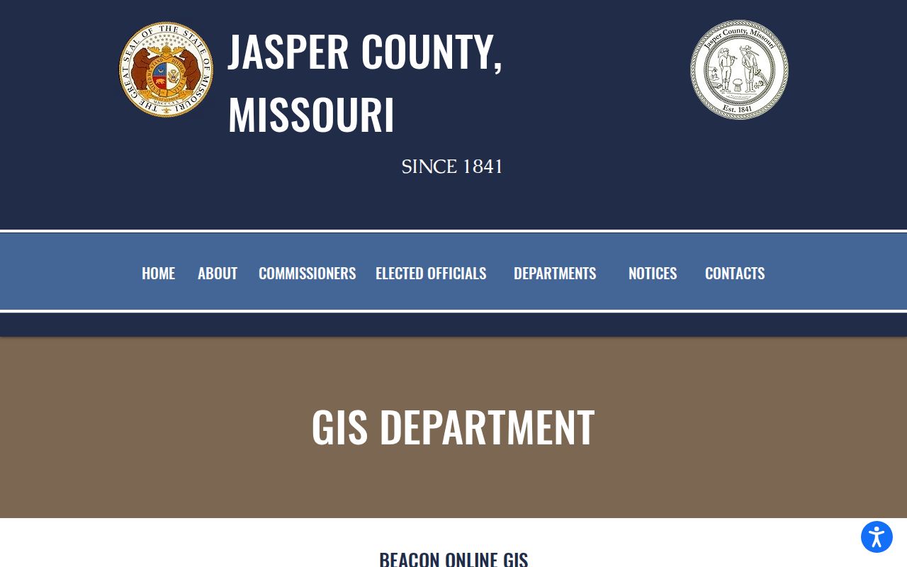
Use the map to establish which parcels make up the immediate block, then compare each parcel's record rather than assuming that one name represents every household.
Note: A Joplin mailing label alone does not establish the county or city boundary for a parcel, so confirm the map and legal description.
Map a Joplin Block
For a Jasper-side Joplin address, the parcel workflow is address to map, map to APN, APN to a parcel report, then parcel report to the adjoining lots. Beacon advertises search by name, address, parcel ID, and alternate ID. Its public example shows parcel outlines, local roads, an overview, scale, and north arrow. Keep the same map scale while moving along the block so corner lots and parcels across an alley or road are not missed.
- Search the known address in Beacon and select the matching parcel.
- Write down the APN, alternate ID if shown, situs address, and legal description before opening nearby parcels.
- Pan along the street and click each adjoining parcel, including corner parcels and lots across alleys or roads.
- Use Tax View or the Recorder only to confirm the owner or recorded instrument attached to each parcel.
Parcel geometry is the best way to define the immediate block. A visible owner mailing address may be useful as a tax-record clue, but it does not establish occupancy. For a full named-street record chain rather than a small radius, use the Joplin By Street directory.
Joplin Parcel Map Access
The public Jasper Beacon map is free, while the county says detailed parcel assessment information needs a membership. The inspected prices were $10 for one day, $75 for one month, and $300 for one year. The public interface shows Map, Search, Results, Report, and parcel-search modes, but the current live layer panel was not fully documented. Do not claim a zoning, school, flood, or other layer is available unless it is visible in the active map.
A selected parcel report can show a parcel ID, alternate ID, owner mailing address, property address, section, township, range, tax district, class, acreage, and a legal description. The official sample also warns that it is not for legal documents and that parcels split after mid-May may not display until the next tax year. Those limits matter when a Joplin neighbor search concerns a recent subdivision or transfer.
Joplin Voter-File Myth
Missouri's public voter-registration tool is not a street browser. The Secretary of State lookup requires the exact first name, last name, date of birth, last four Social Security digits, and county. It is an identity-and-status tool for a person using their own information with permission. It does not reveal every person on a block, ballot choices, or a complete household. A no-match can stem from spelling, county, status, or protected information.
RSMo 115.163 allows precinct registers to be arranged by street address or alphabetically for public inspection at reasonable times, subject to protected-address exceptions. RSMo 115.157 limits the public voter fields and restricts commercial use. A lawful request for a precinct or voter file belongs with the Jasper County Elections Office, which maintains voter rolls, but the county page did not publish a current fee, form, or delivery schedule for such a request. Ask the custodian for the jurisdiction, permitted fields, exclusions, and a cost estimate.
Note: A voter address can support a dated residence finding only when it is lawfully released; it never proves who else lives at that location.
Joplin Neighbors by Neighborhood Name
Historic neighborhood names can help an address search, but they are not current legal boundaries. City preservation material identifies Blendville, North Heights, East Town or Original Joplin, Roanoke, Murphysburg, Royal Heights, Westberry Square, Silver Creek, Gateway Drive, Midway, Oak Pointe, Sunnyvale, and Sunset Ridge among the local contexts. East Town and North Heights have city historic-survey material. Use those names as research terms beside the modern parcel and legal description, not as a replacement for the county boundary.
The Joplin Historic Preservation Commission links neighborhood chapters and survey material.
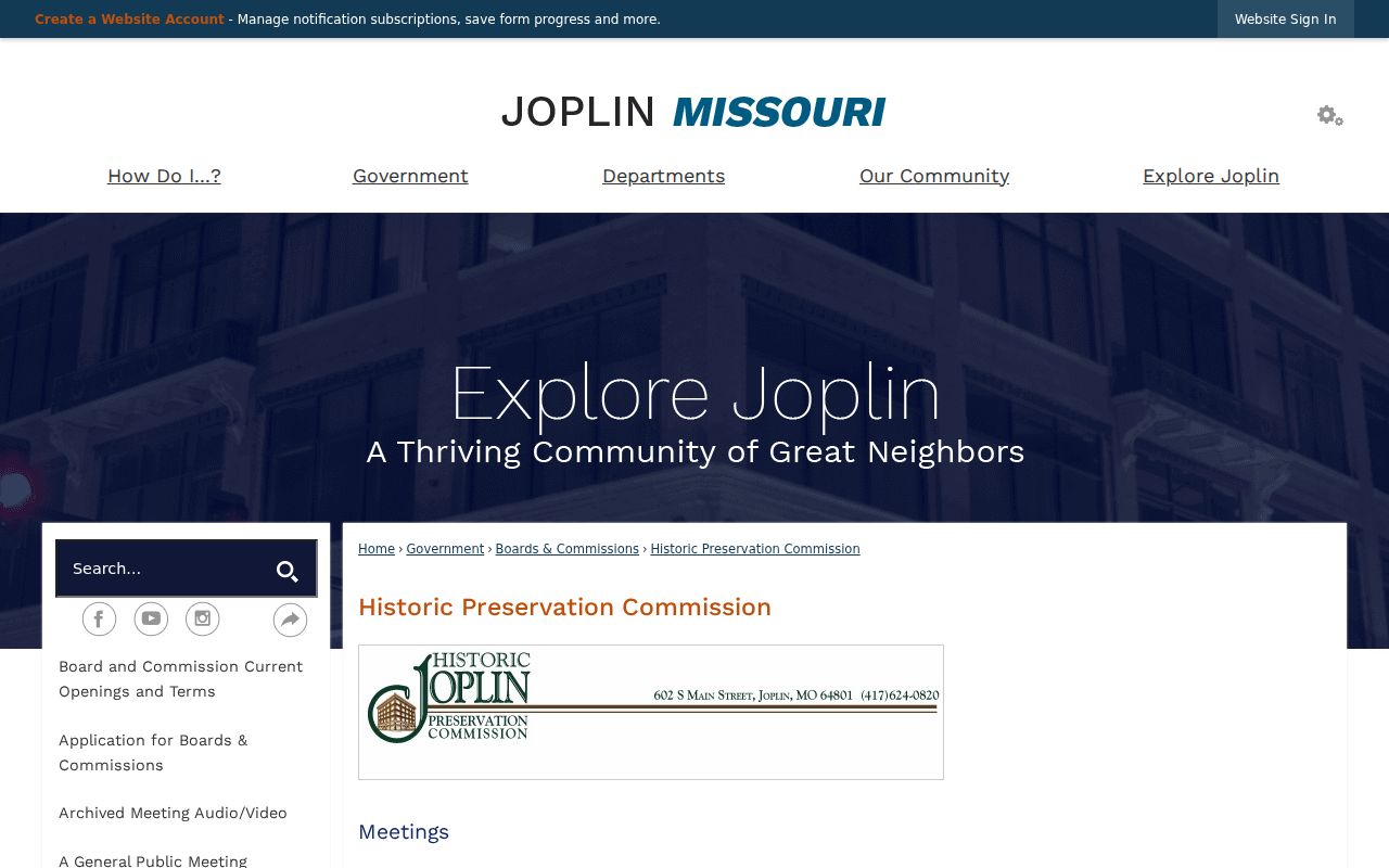
These surveys provide a place-history layer that can explain why a historic record uses a neighborhood, addition, or older place label instead of the current city description.
Blendville is the clearest example. It began as an independent mining village called Blend City and was annexed into Joplin in 1892. Numerous subdivisions entered the city during the twenty years ending in 1910. The city's growth and annexation history gives the local context for comparing a plat, directory, map, and deed language.
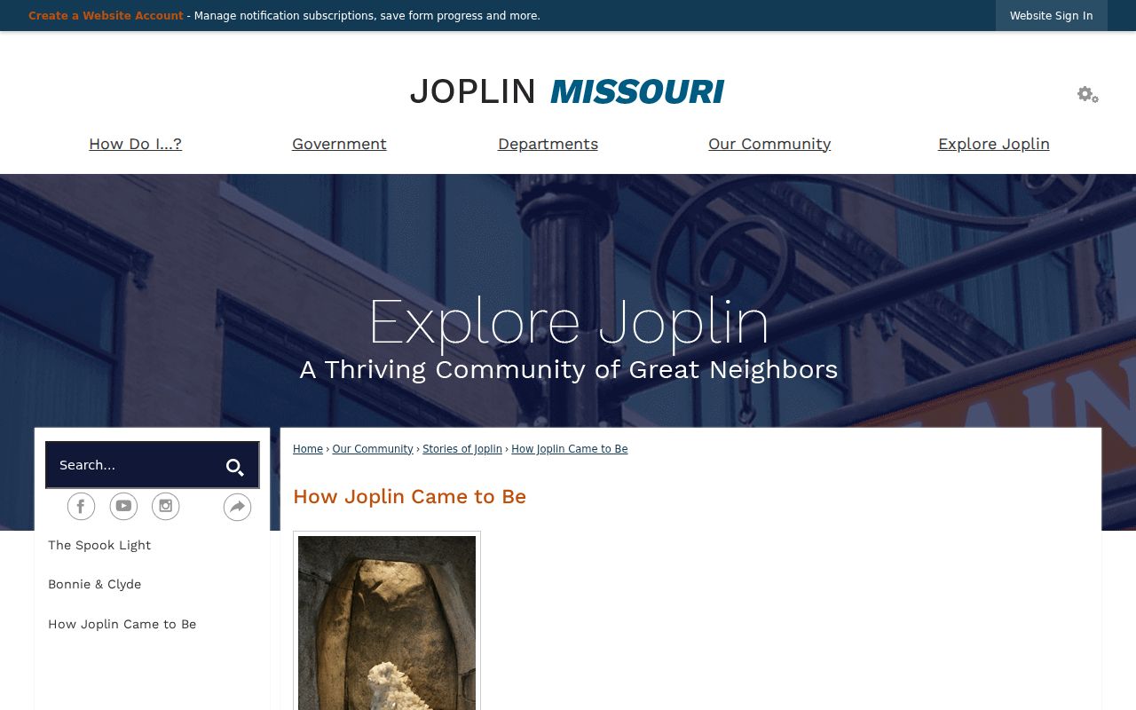
When a historical address fails in a modern map, compare the addition or village name before concluding that the place disappeared.
Joplin Neighbors Address Activity
Permit and code material can add a time-stamped address layer around a block. Joplin's Click2Gov permit route lets anyone view permit status, while permit holders can schedule inspections and make payments. The city says a selected permit can show status, fees, plan-review tracking, and inspection information. A permit may name an owner, contractor, or contact, so it is evidence about work at an address, not proof of a household.
Neighborhood Improvement reports roughly 28,000 parcels and 18,000 structures, with five officers and a goal of four inspections per year. Citizen requests are usually inspected within 48 hours. The public enforcement material is an address and problem workflow, not a name-search system. Older files may require a request to the city custodian under the Missouri Sunshine Law.
The Joplin Media Reports archive is a city-created archive with report categories, keyword, archive, time-period, and date-range controls.
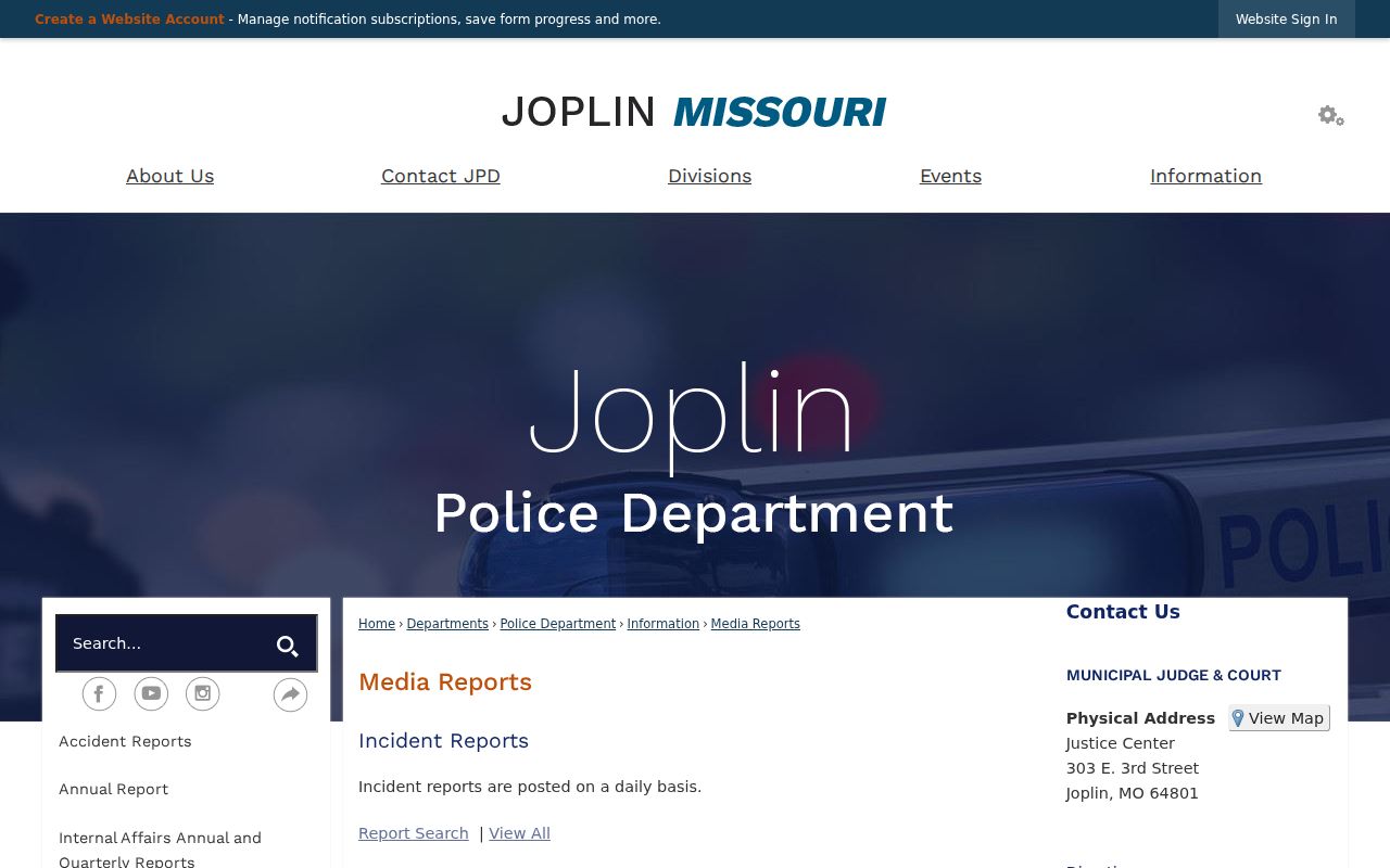
Archive results should be read as dated city records with category limits, not as a complete account of every person connected to a block.
For permit status or a City Building Division contact, use the Joplin building-permit information and its public portal route.
Joplin Neighbors Community Records
Community sources can add a local connection, but they have narrower purpose than public parcel records. No current umbrella neighborhood roster or member directory was located in the research. Historic plans and Neighborhood Services material identify Blendville, North Heights, Roanoke, and Wilson or Hutton organizing work and neighborhood-improvement districts. Membership records for congregations, clubs, unions, veterans groups, and alumni groups should not be assumed public. Seek those only through a catalog, published history, or the organization's permission.
| Local route | Useful neighborhood context | Access point |
|---|---|---|
| Historic Preservation Commission | Neighborhood chapters, surveys, and historic place context | City preservation materials |
| Neighborhood Improvement | Address-based city service and organizing context | City department contact and custodian requests |
| Joplin Public Library | Directories, reverse phone books, local history, microfilm, and maps | Reference staff and catalog |
| Joplin Area Chamber | Business and community affiliation, not a home-address source | Find a Business member directory |
The Joplin municipal directory identifies city departments such as Planning, Development, and Neighborhood Services, along with the library and court contacts.
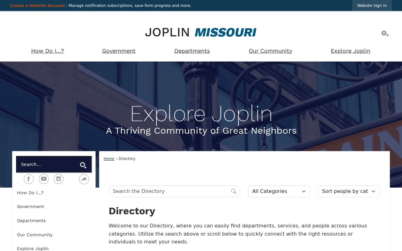
Use the municipal directory to reach the appropriate city office, not as a directory of private households.
The Joplin Archive Center is a separate source for city reports, council packets, tornado and recovery material, and searchable date ranges.
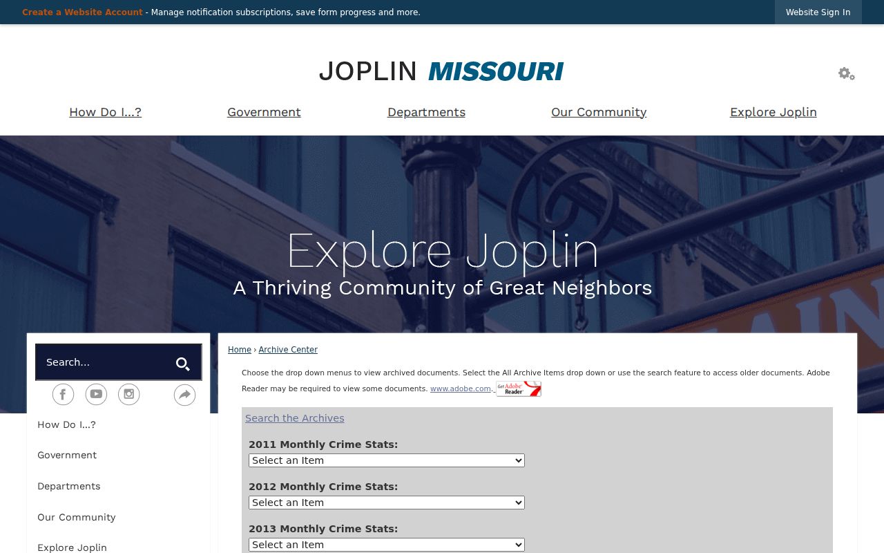
For older address research, pair archive material with the library catalog or a parcel and deed record so dates and place names line up.
Joplin Neighbors Source Comparison
Official block records and commercial neighbor-listing categories answer different questions. A public parcel map identifies a defined lot and the custodian behind the data. Commercial listings may combine old directories, public indexes, marketing information, and user-supplied claims. That can be convenient, but it can also combine same-name people, retain stale addresses, and omit protected records. For a Joplin block, the parcel ID, record date, and official source make it easier to test a result.
| Source type | Best use | Important limit |
|---|---|---|
| Official parcel, Recorder, or city record | Confirm a lot, named owner or party, date, and record custodian | Owner and mailing data do not identify every household member |
| Commercial neighbor-listing category | Generate a lead to verify independently | May be stale, merged, incomplete, or detached from a source date |
| Historic library and archive material | Understand an earlier block, household listing, or neighborhood name | Historic presence is not a current address finding |
Corrections to a public parcel, court, or city record should go to the office that maintains that record. A commercial listing does not replace the custodian's current record or the lawful limits on it.
Joplin Neighbor Lookup Privacy Limits
Public block research has firm boundaries. Parcel records are owner-centered and cannot show every occupant. Motor-vehicle, utility, private delivery, and full household information are not public sources for finding Joplin neighbors. Court, vital, and election records may withhold protected or sealed material. Missouri also permits qualifying people to seek closure of residential voter addresses, and Safe at Home uses a substitute address on new state, local, and court records for eligible participants.
The Missouri Safe at Home program does not erase every historical or private disclosure, but it is an important reason a public record may use a substitute address or omit a home address. Respect that result. If a city or county record is absent online, a focused Sunshine request to the proper custodian may identify what is releasable without asking for protected information.
Note: Neighbor research works best when every result remains tied to its parcel, date, and custodian instead of being treated as a complete household profile.